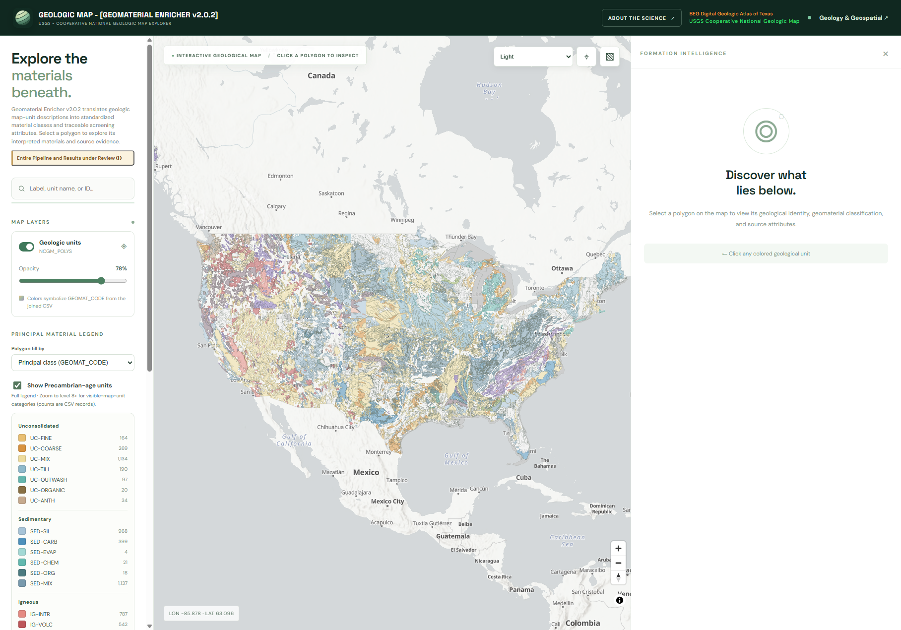
New Geologic Datamap - [Geomaterial Enricher]
I’m working on a pipeline schema utility that generates various attributes from the description of map unit. This toolkit applies natural language decomposition so it can recomposed standardize descriptions for geologic map units.
Rule Version 2.0.2
Links (scroll down for more):


AEROMAGNETICS INTERPRETATION APP is a web-based geophysical platform for aeromagnetic data processing, visualization, and interpretation. It integrates GIS mapping, magnetic transformations, spectral analysis, structural interpretation, anomaly detection, geological profiling, and scientific data exports.
SCAN-RASTERLAB APP is a web-based platform for high-resolution raster preprocessing, image correction, and quality assurance. It integrates TIFF processing, geometric transformations, image enhancement, metadata management, SHA-256 integrity verification, provenance tracking, and standardized exports.
MESH NAVIGATOR v1 Field Mesh Navigator is an offline-capable field communications and mapping web app designed for remote geology, geophysics, soil survey, and field operations, combining Meshtastic messaging, GPS tracking, waypoints, project logging, offline maps, emergency communications, and GIS-ready data exports in one streamlined interface.
CAMPOS GNSS v3 Console is a web-based GNSS field and survey application for connecting to compatible GPS/GNSS receivers, collecting and managing positioning data, monitoring satellite and RTK information, recording survey points and lines, and exporting field data for mapping and analysis.

I am passionate about photography, geology, and travel, always seeking deeper meaning in his adventures. Though I study geosciences and I love capturing the world through the camera lens and consider myself an enthusiastic amateur rather than a professional photographer.
